


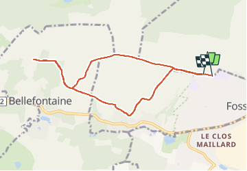

9.2 km | 11.2 km-effort

User


FREE GPS app for hiking
 SityTrail
IGN / Geographical institutes
SityTrail World
The world is yours!
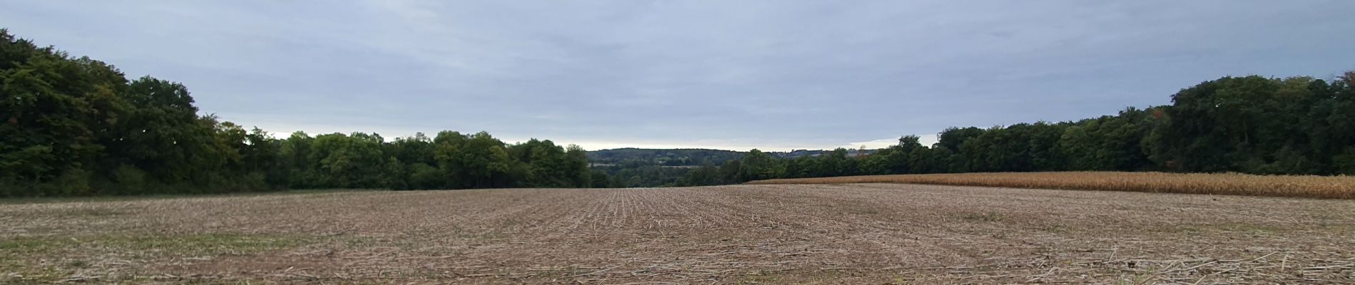
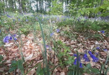
Trail Walking of 8 km to be discovered at Hauts-de-France, Oise, La Chapelle-en-Serval. This trail is proposed by GuyLab.
Depuis stade de Fosses vers point de vue du fer à cheval


Walking
Walking

Walking

Walking

Walking

Walking

Other activity
Walking
Walking